.svg)


.svg)

Article
Content
Paris Leads by Example: Urban Forestry as a Solution to Climate Change
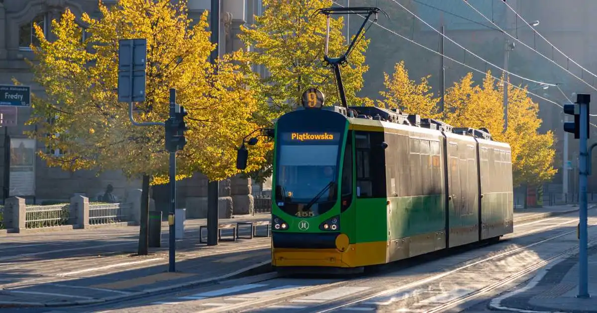
In a significant step towards combating climate change and enhancing urban livability, Paris has recently inaugurated its first “urban forest” at Place de Catalogne, near the Montparnasse train station. This initiative is part of a broader plan to plant 170,000 trees across the city by 2026. Mayor Anne Hidalgo’s administration is dedicated to transforming the capital’s concrete spaces into green oases, thereby enhancing the urban environment and mitigating the urban heat island effect.
This urban forestry project aims to address the severe urban heat island (UHI) effect, which causes cities to be significantly warmer than their rural surroundings due to human activities and infrastructure. The newly inaugurated urban forest at Place de Catalogne, located in the 14th arrondissement, is expected to provide substantial cooling and improve air quality, thus enhancing the quality of life for Parisians. This initiative involves not just planting trees but strategically placing them to maximize environmental benefits. Trees are being planted in various locations, including sidewalks, the city’s periphery, parks, and streets, to create continuous green corridors. The plan also includes creating new green spaces and redesigning avenues with quadruple rows of trees, similar to the historical Avenue de Wagram.
Why Cities Worldwide Are Pursuing Urban Forestry Projects
Urban areas face significant challenges due to the urban heat island effect, which results from human activities and infrastructure, such as buildings and roads, that absorb and retain heat. This phenomenon exacerbates the impacts of heatwaves, increases energy consumption, and deteriorates air quality, posing health risks to residents. Additionally, urban areas often lack green spaces, which reduces natural cooling and carbon sequestration capabilities.
Latitudo 40 leverages advanced satellite imagery and AI-driven insights to address these urban challenges. Our technology provides high-resolution environmental data that supports strategic urban planning and environmental monitoring. By analyzing Land Surface Temperature (LST), we can identify the hottest areas in a city and measure the cooling impact of interventions like urban forests. This precise temperature data helps city planners assess the effectiveness of greening projects and make informed decisions to enhance urban cooling. The detailed Tree Cover Density (TCD) layer allows urban planners to evaluate the success of reforestation efforts and ensure that new plantings thrive.
Fighting Urban Heat Islands with Latitudo 40’s Technology
The Surface Urban Heat Island (SUHI) layer is an essential tool developed by Latitudo 40 to assess and mitigate the urban heat island effect. The SUHI layer utilizes high-resolution satellite imagery and advanced data processing algorithms to measure ground temperatures across urban and rural areas. By comparing these temperatures, the SUHI layer generates an index ranging from 0 to 100, where higher values indicate greater exposure to the urban heat island effect. This index helps identify critical zones most affected by urban heat, allowing for targeted interventions to mitigate the effect.
For urban planners and policymakers, Latitudo 40’s technology offers a data-driven foundation for decision-making. By providing precise and actionable environmental data based on remote sensing and satellite technology, we enable planners to design effective urban greening strategies and monitor their impact over time. Our detailed analyses support strategic planning, allowing clients to prioritize areas for intervention, optimize resource allocation, and track progress toward sustainability goals. Additionally, our solutions assist clients in meeting regulatory requirements and reporting on environmental performance, enhancing transparency and accountability.
For citizens, the benefits of Latitudo 40’s technology translate into an improved quality of life. Mitigating the urban heat island effect and increasing green spaces create cooler, healthier, and more livable urban environments. Reducing urban temperatures and improving air quality can decrease heat-related illnesses and respiratory issues, benefiting public health.
Paris’s initiative to combat climate change and improve urban livability through urban forestry is a significant step forward. By transforming concrete spaces into green oases, the city aims to mitigate the urban heat island effect, enhance air quality, and improve the overall quality of life for its residents. Latitudo 40’s advanced geospatial technology plays a crucial role in supporting these efforts by providing precise environmental data and insights. From assessing land surface temperature to evaluating tree cover density, our tools enable city planners to make informed decisions and implement effective greening strategies.
To further enhance your urban planning initiatives and leverage the full potential of advanced geospatial technology, explore EarthDataPlace by Latitudo 40. EarthDataPlace offers easy access to a comprehensive catalog of satellite data and AI-driven insights, tailored to meet the needs of urban planners, researchers, and policymakers.
Visit EarthDataPlace today to learn more about how our platform can support your efforts in creating sustainable and resilient urban environments. Whether you need detailed environmental monitoring, strategic planning tools, or precise data for targeted interventions, EarthDataPlace has the resources to help you achieve your goals.


.webp)